The Terra Response Network team has digitized the findings of environmental surveys conducted in an area of Kharkiv affected by an oil spill following the attack on the Nemishlianskyi oil depot. The collected data include 214 laboratory test results from soil, sediment, and groundwater samples taken in the contaminated area, along with 188 analytical results from surface water samples collected across the river system.
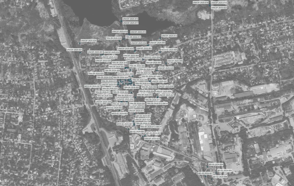
Two Years of Research — Brought Together on One Map
Since the oil spill in February 2024, the affected area has been investigated by the State Environmental Inspectorate, specialists from the Ministry of Health, the Ukrainian Scientific Research Institute of Ecological Problems, and TRN.
During this time, numerous eyewitness accounts from local residents have been collected, documenting the circumstances of the incident and signs of contamination. Chemical analyses of soil and water have been conducted, alongside geological, hydrogeological, and microbiological investigations.
Using the QGIS geographic information system, the team has brought these findings together with data on terrain, the city’s stormwater drainage system, underground utilities, and the built environment to develop a digital LNAPL Conceptual Site Model (LCSM).
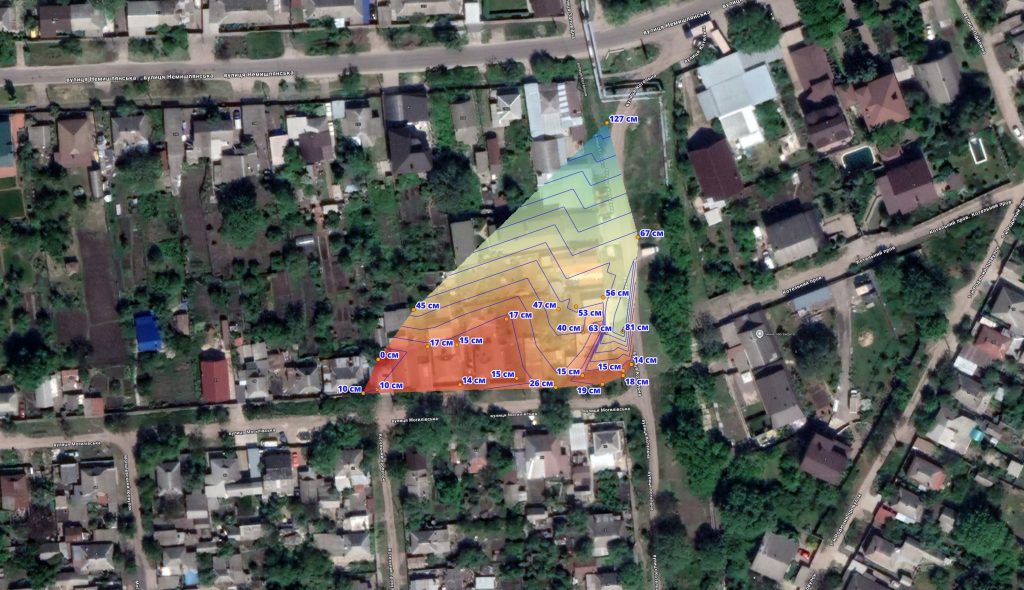
A Digital Model Instead of Hundreds of Exploratory Boreholes
Petroleum products have spread unevenly across the area. Identifying every contaminated site through sampling alone would require drilling hundreds of boreholes, at considerable cost and over a long period.
The digital model offers a different approach.
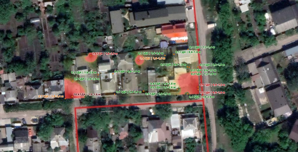
For example, it allows researchers to examine how the direction of the spill, terrain, groundwater movement, and the built environment relate to one another. They can also account for the locations of basements and garage inspection pits, areas covered by concrete, and places where topsoil was replaced after the incident.
This helps identify potential hotspots where petroleum products may have accumulated and test these assumptions through targeted sampling and laboratory analysis.
The approach reduces the amount of fieldwork required, lowers survey costs, and makes it possible to delineate contaminated areas more quickly.
From Individual Backyards to the Siverskyi Donets River Basin
The model covers not only residential areas but also the river network through which the contamination plume has spread.
It incorporates data from Ukraine’s national surface water monitoring programme, making it possible to assess the impact of contamination on the Nemishlia, Kharkiv, Lopan, and Udy rivers.
In the future, the model will also help assess how cleanup efforts affect water quality across the Siverskyi Donets River Basin.йф забруднення.