The Terra Response Network team has completed investigations of petroleum-contaminated areas in the Nemishlianskyi district of Kharkiv. The work covered the floodplain of Petrenkivskyi Pond and a block of private residential development consisting of five households along Mohylivska Street — from Kotelna Street to Kotelnyi Lane.
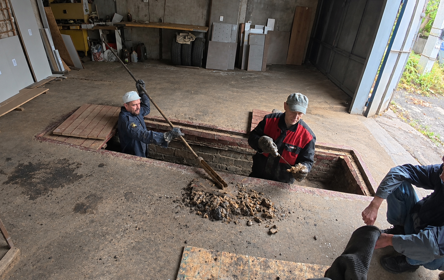
25 Wells and More Than 70 Laboratory Analyses
As part of the field work, 25 search wells were drilled and more than 70 different analyses of soil, groundwater, and surface water were carried out.
The purpose of the investigation was to determine the level of contamination, understand how petroleum hydrocarbons are distributed across different areas, and identify which specific zones require remediation.
The results showed that contamination developed differently in the floodplain and within the private residential area.
A Secondary Contamination Source Remains in the Floodplain Sedimentsгся вторинний осередок забруднення
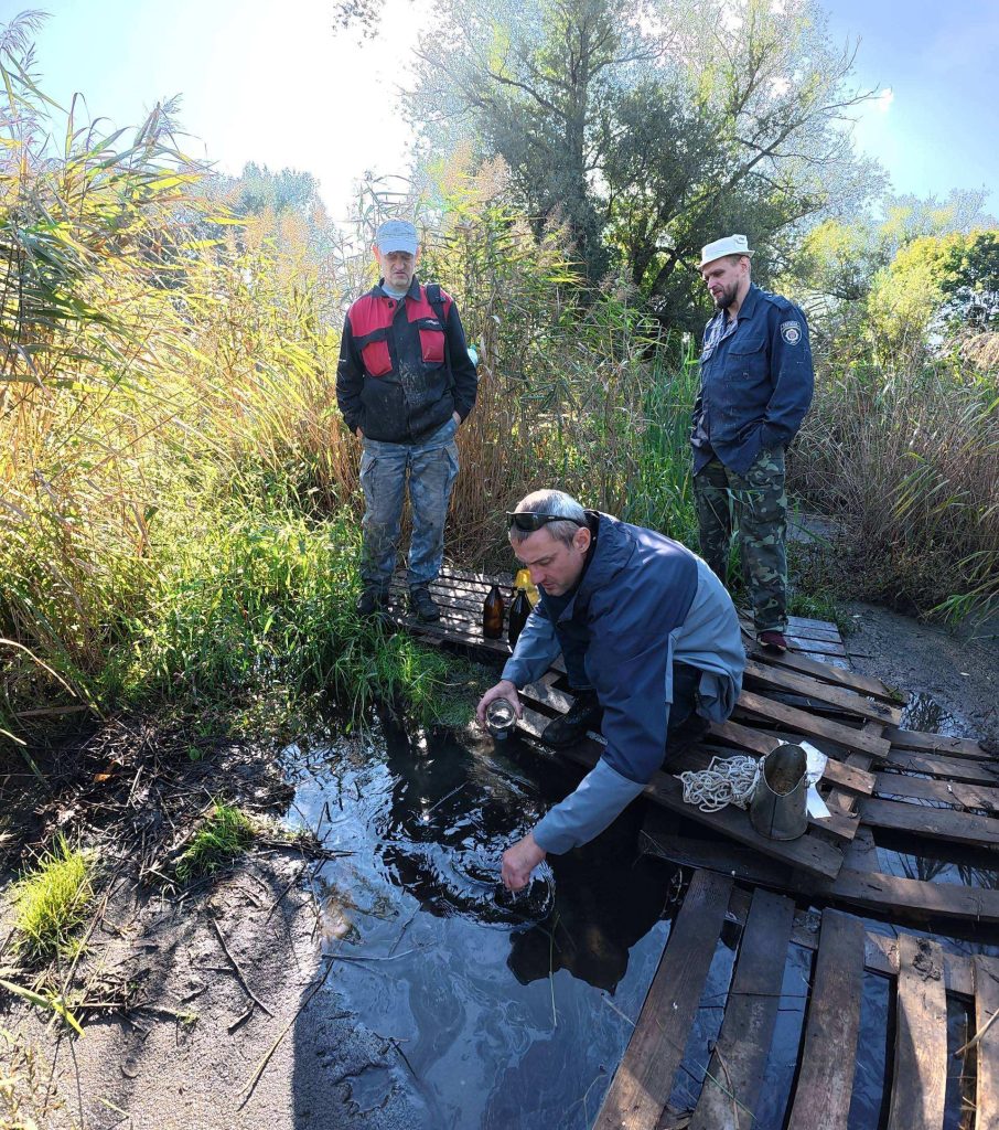
Laboratory analyses confirmed the presence of a secondary source of contamination in the bottom sediments of the Petrenkivskyi Pond floodplain.
Contamination of the silty sediments extends to a depth of approximately 2 m. In some areas, petroleum hydrocarbon concentrations exceed the maximum permissible levels by nearly 18 times.
Petroleum hydrocarbons that accumulated in the bottom sediments after the accidental contamination continue to enter the water. This results in river contamination and the further downstream migration of contaminants, including in dissolved form.
Contamination in the Residential Area Is Localized
The situation is different within the private urban residential area.
The contamination does not affect the entire area uniformly. Petroleum hydrocarbons are concentrated in separate localized zones, the locations of which depend on how the spill occurred and where the contamination migrated.
The formation of these hotspots was influenced by surface runoff directions, topography, buildings, and places where petroleum hydrocarbons could accumulate.
These include, for example, basements, garage pits, topographic depressions, and other artificial depressions.
In such locations, petroleum hydrocarbon concentrations exceed the maximum permissible levels by up to 7 times. At the same time, soil only a few metres away from a contamination hotspot may already be safe for use.
This feature is particularly important for the further restoration of private properties.
Not All Contaminated Land Requires Remediation: Land Can Already Be Returned to Residents
One of the main conclusions of the investigation is that contamination within private households is not continuous.
According to the investigation results, approximately 70–80% of the land plots located within the contaminated area can be returned to residents for safe use without carrying out expensive remediation.
There is no need to wait until the entire area has been remediated. Detailed investigation makes it possible to determine precisely which parts of a household property are safe and where localized contamination hotspots remain.
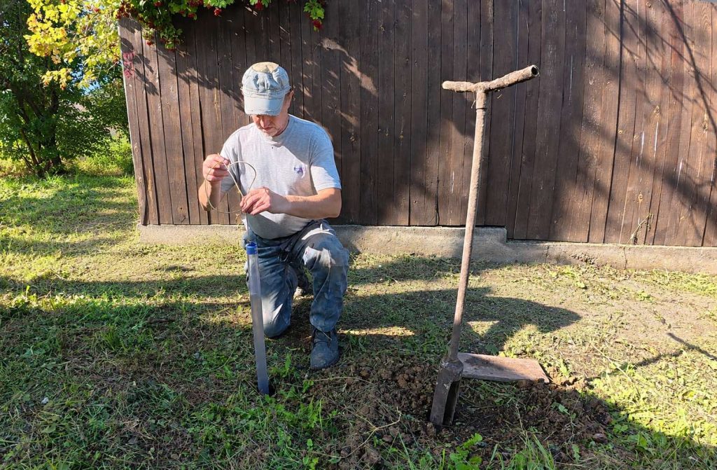
For residents, the result of such an investigation can be presented as a simple and clear map of their own property: where the land can already be used without restrictions, and where, until remediation is completed, it is better not to plant crops, create children’s play areas, or allow direct contact with the soil.
This approach makes it possible to avoid restricting access to an entire household property because of several localized contaminated zones. The safe part of the property can be returned to normal use, while remediation can be focused specifically where it is truly needed.
The work is being carried out within the project “Resilient Roots: Supporting Environmental Initiatives in War-Affected Regions of Ukraine” with the support of Austausch e.V., GreenRoots Hub, and Brot für die Welt.